GIS Map CreationODMaps
Turn paper maps and LIDAR data into a complete GIS map of your system.
How it works
- 1
Share your maps and records.
Send us your paper maps and system records. If LiDAR data isn’t available for your area, we source it.
- 2
We digitize and combine them.
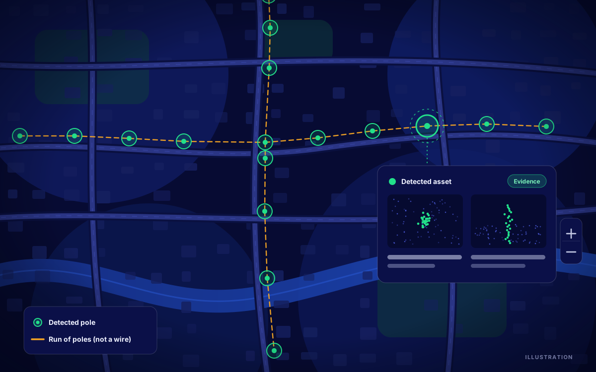
Our computer vision models convert your maps, and we use LiDAR data to locate and attribute every piece of equipment.
- 3
Get your GIS map.
Receive a complete map of your system in QGIS, or in another format if you need one.
Use case
A municipal electric utility moved decades of paper grid records into its first digital GIS map, enabling it to start predictive maintenance and reduce outages.